
Houston Neighbors by Block
The immediate-block method begins with one confirmed parcel. It can identify mapped parcels that touch or sit near it, a parcel account, an associated owner field, a legal description, and civic geography. It cannot produce a complete household list. The sources below answer different block questions, and their limits matter as much as the visible fields.
| Block source | What it can show | Access and limit |
|---|---|---|
| HCAD Parcel Viewer | Mapped parcel polygons, selected-account link, location, and neighboring parcel context | Enter an address or account, click the map; lines are approximate, not a survey. |
| HCAD Property Search | Account, owner, situs, mailing address, legal description, value, and exemption context | Public data is online for 2009-current; an owner field is not a complete resident record. |
| County Clerk deed index | Transfer parties, dates, instrument type, and legal description | Online images begin about November 1, 1960; earlier material has office and archive routes. |
| Texas voter lookup | One person's defined registration context | It is not a free block roster and protected-address rules apply. |
| Super-neighborhood directory | Community area, number, activity status, and city liaison | Public civic directory, not a private membership list. |
| Permit and 311 history | Place-based work or service chronology | May explain a place change, not identify everyone at an address. |
A parcel owner and a parcel occupant are not the same category. A mailing address is for notices, and may not match the situs. The map is a useful starting point for Houston neighbors, but the legal description and official custodian are the next check when a transfer or boundary matters.
Map Houston Neighbor Parcels
The HCAD viewer supports an address or account lookup and lets the searcher select a parcel polygon. It is practical for a small block: begin with the subject parcel, note which polygons adjoin it, then open each linked account. Roads, alleys, drainage tracts, and narrow parcel slivers can make a visual relationship misleading, so use the polygon with street and plat context rather than relying on a single map glance.
- Enter the address or exact account number in the HCAD Parcel Viewer, then select the subject polygon.
- Record its account number, situs, legal description, and visible map relationship to the adjacent polygons.
- Open the associated HCAD cards and retain only the displayed parcel and ownership fields.
- Use the County Clerk index when an ownership date or legal-description chain needs confirmation.
- For a full named-street record trail, use the Houston by-street directory instead of stretching a block method across the city.
HCAD's public parcel layer is capped at a 1,000-record query response. That is another reason to keep a Houston neighbor check small and address-led rather than trying to turn it into a whole-city export.
Houston Neighbors and Parcel Fields
An HCAD card can list an account number, current owner, property or situs location, mailing address, legal description, neighborhood or market-area label, land and building characteristics, values, exemption flags, sales information, a building sketch, parcel map link, and sometimes ownership-history clues. Those fields make a good record inventory for a Houston neighbors search. They do not reveal every person who uses the address.
- Situs address
- The physical parcel location used by the appraisal record.
- Mailing address
- The place where tax notices are sent. It may differ from the situs.
- Legal description
- The subdivision, lot, block, abstract, tract, or unit language used to identify land.
- Parcel polygon
- A mapped boundary used for reference. HCAD says it is not a legal survey.
Use a deed image to compare legal-description language. The grantee is the person receiving an interest, and a grantor transfers an interest. Neither term says who used an address at a particular time.
HCAD lists public online appraisal data from 2009-current. For a Houston parcel question from 1998-2008, the county records-management guidance directs the searcher to HCAD rather than treating the missing web card as a missing record. The Harris County Tax Office offers another account, name, or address route for statements and receipts, but warns that an account can be temporarily absent while certification, ownership change, review, or an opt-out block is handled. A blank online response is not proof of a blank Houston parcel history.
Houston Neighbors and Civic Areas
Houston's Super Neighborhood program offers a civic map that is separate from ZIPs, parcels, precincts, and city limits. The official directory lists 88 areas with a number, activity status, and Mayor's Assistance Office liaison. It helps a reader identify a public community entry point, not private member names. Downtown, Greater Heights, Greater Third Ward, Midtown, Near Northside, Spring Branch groups, Sunnyside, and Westbury are among the named areas in the directory.
| Public civic route | What it provides |
|---|---|
| Houston Super Neighborhood Directory | Area names, activity status as displayed, number, and Mayor's Assistance Office liaison. |
| Super Neighborhood Alliance | Citywide umbrella role and public meeting or contact information, not a private member list. |
| Department of Neighborhoods | Program help and community-liaison route through City Hall and the Mayor's Assistance Office. |
| Individual civic groups | Organization-specific public contact information, with no citywide official member index located. |
The Houston Super Neighborhood program page introduces the city-supported community map.
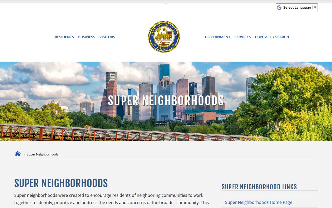
This civic layer can place an address in a community conversation without claiming that everyone in the area belongs to one organization.
Activity labels in the Houston directory are program labels, not a verdict on whether a community is organized. The inspected list marks Greater Heights, Downtown, Fourth Ward, Independence Heights, Lazybrook/Timbergrove, Magnolia Park, Near Northside, and Westbury as active, while other entries may be inactive or marked photo. Use the specific Houston super-neighborhood page or the Mayor's Assistance Office liaison for current public contact information. Do not infer private affiliation from a Houston boundary.
Houston Neighbor Voter Boundaries
The Texas public voter lookup is for checking an individual registration question. It is not a free way to list a block. Texas public voter fields have statutory rules, while Social Security, driver-license or personal-identification numbers, and telephone information are protected. A protected voter or Address Confidentiality Program participant can have extra safeguards. A no-match can also reflect a move, spelling variation, list maintenance, or portal timing.
The bulk voter-file request is a separate SOS process with geographic scope, active or suspense selection, delivery information, an affidavit, and defined use restrictions. Its output is fixed-width text. It should not be treated as a convenient neighbor directory. Houston neighbors research is more accurate when it stays with one official question and one official source at a time.
Houston Block History Sources
Place records can explain why a block looks different across years. Houston permit history can provide a job address, permit or project, applicant or buyer fields where exposed, and construction chronology. The sold-permit screen includes date ranges, job address, permit type, use, valuation, buyer, applicant, and owner-occupant categories. Its online history is limited, so a complete city file requires the Houston PIA request route.
For older context, use plats, Tax Office block-book maps, Sanborn maps, city directories, newspapers, and the Houston Historic Preservation guide. The Tax Office resource describes more than 16,280 subdivisions and surveys. Houston's annexation map covers 1836-2023, and the 2017 change from Dowling Street to Emancipation Avenue is a reminder to search historic street names, subdivision language, and legal descriptions. These sources reveal a place's history, not a current household list.
Houston Neighbor Boundaries Can Mislead
A postal city label, Houston city limit, ZIP boundary, and HCAD parcel boundary do not always describe the same geography. The official 77099 map draws city limits and ZIP lines separately. A selected parcel can also sit next to another jurisdiction or an unincorporated pocket. For Houston neighbors research, use the map as a location check and then confirm the address through the city or county record that governs the question.
This matters when a block crosses an annexation edge or a postal label remains Houston outside the incorporated city. Planning and Development assigns city addresses and confirms boundaries, while deeds and plats use their own legal-description language. A precise boundary question needs that custodian or a survey professional, not an inference from a parcel-viewer line.
Houston Neighbors Official Sources
Official records and commercial neighbor lists serve very different purposes. An official record identifies its custodian, update process, and public boundary. A commercial category can combine purchased and public data, merge similar names, charge for a report, and retain an address after a source corrects it. It cannot replace a deed image, parcel card, civic directory, or direct confirmation from the office that keeps the record.
| Source type | Best use around a Houston block | Important limit |
|---|---|---|
| Official parcel and deed records | Parcel identity, legal description, and documented ownership transfer | They do not establish every current person at an address. |
| Official civic directory | Community area and a public liaison route | It is not a membership roll. |
| Commercial compiled lists | A possible lead to compare against a named custodian | Names, dates, and addresses can be stale or mixed across people. |
Note: When a fact affects a real decision, confirm it with the Houston or Harris County office responsible for that record.
Houston Neighbors Privacy Limits
Some block information is not public. The research found no official public utility-customer lookup, complete school-attendance-zone address finder, or citywide block-watch roster. A parcel card does not establish household members, and a super-neighborhood boundary does not establish private organization membership. The Texas Address Confidentiality Program provides a substitute address and mail-forwarding route for eligible participants and household members. Texas law also allows protections for qualifying officials and other eligible people.
Lawful use. Houston neighbors records can support civic curiosity, family history, or a careful property question. They are never permission to stalk, threaten, repeatedly contact, or harm another person.
Texas Penal Code §42.072 addresses stalking and §42.07 addresses harassment. If an HCAD, clerk, city, or private record has an error, preserve the record number and ask the source that created it for its correction or confidentiality procedure.